
I’ve seen some great models of topography at Thingiverse. Below is a model of the U.S. that I use in schools regularly.

I decided to make a model for my city- Appleton WI. I used Terrain2STL to get started. It is an easy to use website that lets you select an area on Google Maps and create an STL for download.

From here, I could have sent the file straight to the printer but there is a problem with my city- it’s SO flat.
To make my city’s model a bit more exciting, I needed to exaggerate the elevation so we could see more of the features around the river. To make the adjustments, I used Meshmixer from Autodesk. Meshmixer is an essential multitool for modifying 3D models.
First, I adjusted the scaling in the vertical so it was 20 times larger than the longitude and the latitude by using the Transform tool in Meshmixer.
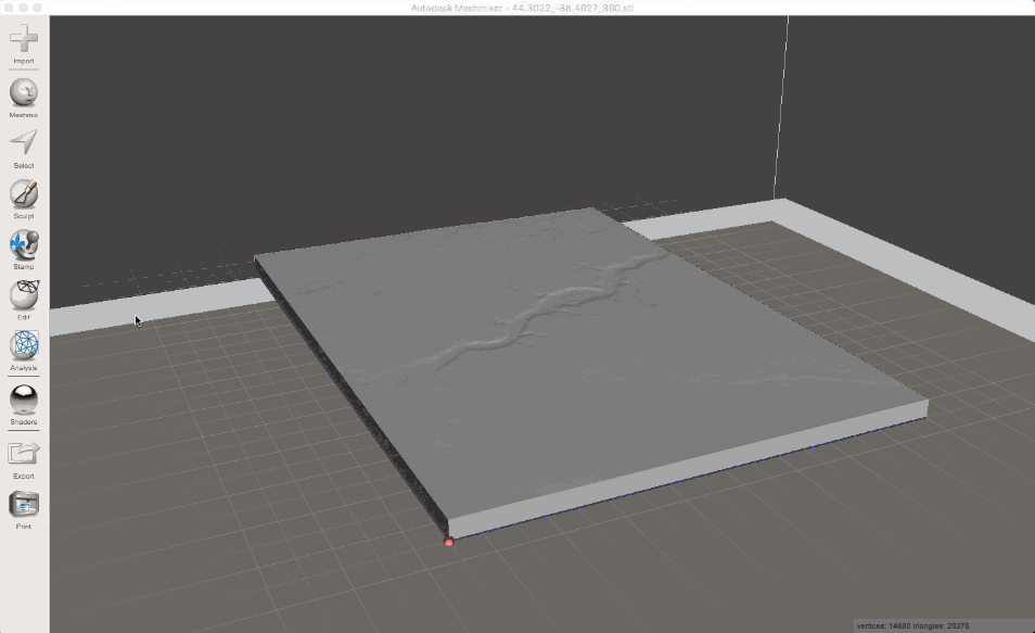
This made the base of the model 20 times larger too. I used the Plane Cut tool in Meshmixer to trim down the base.

That’s it! I exported the file and sent it off to the printer. You can download your own copy.


 RSS - Posts
Recent Comments